Description
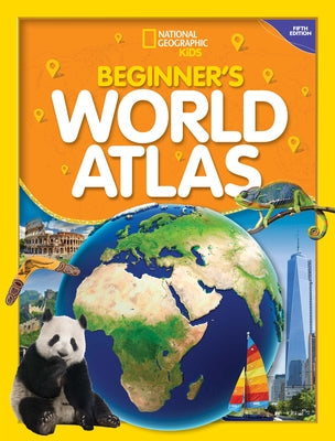
In this new edition, the map experts at National Geographic have worked with a geography educator to provide:
-Large, colorful maps specifically created for readers 7 to 10 years old
-Updated facts and statistics about the world's land, people, and animals
-Bright, bold photographs
-Information on what a map is and how to read a map key
-A useful glossary, metric conversion chart, and index
-The most up-to-date, relevant information about the world at an age-appropriate level The perfect reference for kids to learn about lands close to home or oceans away--ideal for classroom use, homework help, and armchair exploration!
Complete or supplement your atlas collection with the National Geographic Kids Beginner's United States Atlas (3rd edition). And for older readers, don't miss the National Geographic Kids World Atlas (6th edition), the National Geographic Kids United States Atlas (6th edition), and the National Geographic Kids Student World Atlas (6th edition).
Author: National Geographic
Publisher: National Geographic Kids
Published: 07/05/2022
Pages: 64
Binding Type: Paperback
Weight: 0.95lbs
Size: 13.30h x 10.20w x 0.40d
ISBN13: 9781426373343
ISBN10: 1426373341
BISAC Categories:
- Juvenile Nonfiction | Reference | Atlases
- Juvenile Nonfiction | Science & Nature | Earth Sciences | Geography
- Juvenile Nonfiction | Places | General
About the Author
ABOUT THE AUTHOR/ILLUSTRATOR: NATIONAL GEOGRAPHIC and maps go together like latitude and longitude. For more than 130 years, National Geographic maps have helped spread geographic knowledge to people around the world. Eye-catching graphic elements give the maps their distinctive look and enhance their readability. National Geographic combines the latest data gathered by space-age technology with innovative mapping techniques to create state-of-the-art political, physical, and thematic maps. Meticulous research and attention to detail have established a standard of excellence that is recognized worldwide.

